An app for walks along the paths of the Park 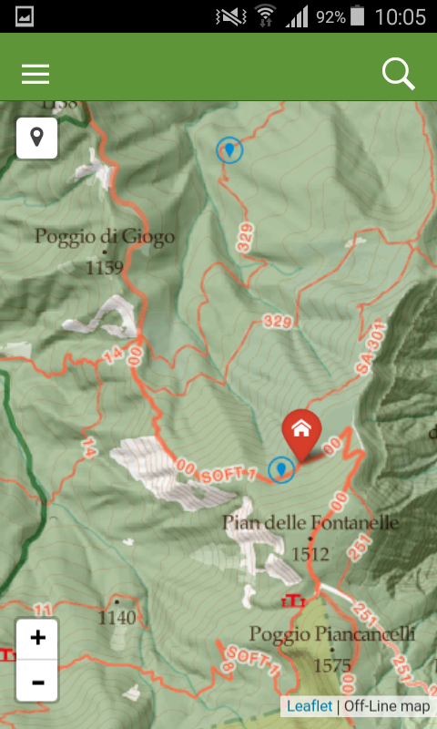
The National Park, as part of the "Actions to promote the naturalistic fruition and the trail network of the Romagna Apennines and the National Park of the Casentino Forests" GAL project funded under Measure 412 - Action 6 - Axis 4 of the Regional Rural Development Program 2007 - 2013, has implemented applications dedicated to the discovery of the protected area. One of these concerns the network of paths of the National Park, one of the excellences of the territory that is a constant commitment of the Park, the State Forestry Corps and the sections of the Italian Alpine Club involved in an effort of design and maintenance on about 800 kilometres of marked trails. Today a digital instrument is finally available allowing to "navigate" the paths of the Park, even in offline mode, with the support of smartphones, tablets and other mobile devices, being aware of the precautions and of the correct behaviour when undertaking an excursion in mountain environments.