WebGIS
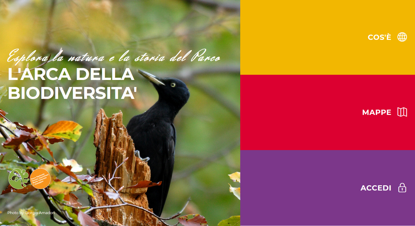
The Ark of Biodiversity
This new instrument allows easy and direct access to a series of information maps dealing with all aspects concerning the protected area: from nature to history, culture, and land management. The objective of the instrument is to share information resulting from research and surveys carried out in the area, to promote knowledge of the protected area, to stimulate visitors to a conscious visit, and to inform them about the biodiversity and the history that can be encountered along the routes of the Park.
The instrument is the result of work carried out in 2017 as part of the scholarship dedicated to Pietro Zangheri. New maps and contents will be published periodically in order to increasingly develop the platform and keep it always updated.